
پرونده:Illinois - background map.png
اندازهٔ این پیشنمایش: ۴۴۳ × ۶۰۰ پیکسل. کیفیتهای دیگر: ۱۷۷ × ۲۴۰ پیکسل | ۳۵۴ × ۴۸۰ پیکسل | ۷۶۸ × ۱٬۰۴۰ پیکسل.
پروندهٔ اصلی (۷۶۸ × ۱٬۰۴۰ پیکسل، اندازهٔ پرونده: ۸۱۱ کیلوبایت، نوع MIME پرونده: image/png)
این پرونده در ویکیانبار موجود است. محتویات صفحهٔ توصیف آن در زیر نمایش داده میشود. |
خلاصه
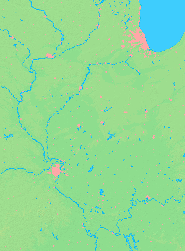
| توضیح | Background map of the Illinois State, USA, ready for the Geobox template, calibrated at en:Template:Geobox locator Illinois2 |
| تاریخ | |
| منبع | Made my myself from free maps available at www.demis.nl |
| پدیدآور | Caroig |
اجازهنامه
This image is in the public domain because it came from the site https://www.demis.nl/products/web-map-server/examples/ and was released by the copyright holder. Permission is granted to copy, distribute and/or modify this map since it is based on free of copyright images from: www.demis.nl. See also approval email on de.wp and its clarification.
|
| This work has been released into the public domain by its copyright holder, www.demis.nl. This applies worldwide. در برخی از کشورها ممکن است به صورت قانونی این امکانپذیر نباشد؛ اگر چنین است: www.demis.nl به هر کسی اجازهٔ استفاده از این اثر برای هر مقصودی، بدون هیچگونه شرایطی، را میدهد تا وقتی که این شرایط توسط قانون مستلزم نشده باشند.
|
تاریخچهٔ پرونده
روی تاریخ/زمانها کلیک کنید تا نسخهٔ مربوط به آن هنگام را ببینید.
| تاریخ/زمان | بندانگشتی | ابعاد | کاربر | توضیح | |
|---|---|---|---|---|---|
| کنونی | ۱۰ نوامبر ۲۰۰۷، ساعت ۲۳:۵۴ | | ۷۶۸ در ۱٬۰۴۰ (۸۱۱ کیلوبایت) | Caroig | == Summary == {{Information |Description=Background map of the Illinois State, USA, ready for the Geobox template, calibrated at en:Template:Geobox locator Illinois2 |Source=Made my myself from free maps available at www.demis |
کاربرد پرونده
بیش از ۱۰۰ صفحه از این پرونده استفاده میکنند. فهرست زیر تنها اولین ۱۰۰ استفاده از این پرونده را نشان میدهد. فهرست کامل نیز موجود است.
- آتلانتا (ایلینوی)
- آتن، ایلینوی
- آرورا، ایلینوی
- آرکولا، ایلینوی
- آلبیون، ایلینوی
- آلتامونت، ایلینوی
- آلتون، ایلینوی
- ابینگدون، ایلینوی
- ارلویل، ایلینوی
- اسامپشن، ایلینوی
- اشلی، ایلینوی
- افینگهام، ایلینوی
- الدورادو، ایلینوی
- الموود، ایلینوی
- الیدو، ایلینوی
- الپاسو، ایلینوی
- امبوی، ایلینوی
- اوبرن، ایلینوی
- ایست دابیوک، ایلینوی
- ایست پیوریا، ایلینوی
- ایوا، ایلینوی
- بانکر هیل، ایلینوی
- بتیویا، ایلینوی
- بروکپورت، ایلینوی
- بریجپورت، ایلینوی
- بریدوود، ایلینوی
- بنتون، ایلینوی
- بنلد، ایلینوی
- بوشنل، ایلینوی
- جانزبرو، ایلینوی
- جانسونسیتی، ایلینوی
- جرارد، ایلینوی
- جنسو، ایلینوی
- جولیت، ایلینوی
- دالاسسیتی، ایلینوی
- دوکوئین، ایلینوی
- دکیتر، ایلینوی
- دیکسون، ایلینوی
- سنترویل، ایلینوی
- سنتریلیا، ایلینوی
- فارمرسیتی، ایلینوی
- فارمینگتون، ایلینوی
- فلورا، ایلینوی
- فولتون، ایلینوی
- فیربری، ایلینوی
- فیرفیلد، ایلینوی
- فیرویو هایتس، ایلینوی
- قاهره، ایلینوی
- لاسال، ایلینوی
- لاهارپ، ایلینوی
- لاکپورت، ایلینوی
- لبنان، ایلینوی
- لوروی، ایلینوی
- لوییزتاون، ایلینوی
- لکان، ایلینوی
- لکسینگتون، ایلینوی
- لیلاندگرو، ایلینوی
- لینکولن، ایلینوی
- لیچفیلد، ایلینوی
- لیک فورست، ایلینوی
- ماروآ، ایلینوی
- ماکون، ایلینوی
- مدیسون، ایلینوی
- ناکسویل، ایلینوی
- هاروارد، ایلینوی
- هاوانا، ایلینوی
- هایلند پارک، ایلینوی
- هایلند، ایلینوی
- هرست، ایلینوی
- هرین، ایلینوی
- هنری، ایلینوی
- هیلزبورو، ایلینوی
- چارلزتون، ایلینوی
- چستر، ایلینوی
- چیلیکافی، ایلینوی
- کارترویل، ایلینوی
- کارلایل، ایلینوی
- کارلینویل، ایلینوی
- کارمی، ایلینوی
- کارولتون، ایلینوی
- کافین، ایلینوی
- کرستهیل، ایلینوی
- کریستاللیک، ایلینوی
- کریستوفر، ایلینوی
- کریلاسپرینگز، ایلینوی
- کلمبیا، ایلینوی
- کلونا، ایلینوی
- کلچستر، ایلینوی
- کلینتون، ایلینوی
- کیسبرگ، ایلینوی
- کیسی، ایلینوی
- کینموندی، ایلینوی
- گرند تاور، ایلینوی
- گرینفیلد، ایلینوی
- گریگزویل، ایلینوی
- گریویل، ایلینوی
- گلسپی، ایلینوی
- گلوا، ایلینوی
- گلکندا، ایلینوی
- گیبسونسیتی، ایلینوی
پیوندهای دیگر به این پرونده را ببینید.
کاربرد سراسری پرونده
ویکیهای دیگر زیر از این پرونده استفاده میکنند:
- کاربرد در ceb.wikipedia.org
- کاربرد در ja.wikipedia.org
- کاربرد در ml.wikipedia.org
- کاربرد در new.wikipedia.org
- کاربرد در sco.wikipedia.org
- کاربرد در vi.wikipedia.org
- کاربرد در zh.wikipedia.org